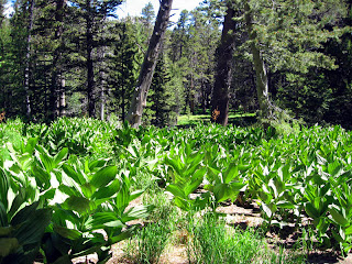
Even though it was much drier than last year, there was plenty of greenery. This field looked better than the picture shows. The plants somehow look evil in this photo. Our path up this year avoided the "poky narrows", a path we named last year because it was very narrow and there were bushes with thorns on them on both sides of the trail.

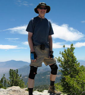
My head is above the summit as I stand on the rock. Luckily it wasn't cloudy, otherwise my head would be in the clouds :-) The sky was very dark blue, which doesn't show up in the photo. What also doesn't show is how crowded it was at the peak. There was a wait just to get a photo taken at the sign.

Proof that I was at the summit. It wasn't easy taking a photo of my GPS screen. There was lots of glare and I couldn't focus the camera. I was disappointed that it showed the elevation as 10.8 Kft. I wanted to see all the digits! I took my GPS just of the fun of it. My major complaint with this model is that it takes a long time to acquire satellites once you turn in on. Darin wears a watch that gives the elevation. It is not as accurate, but all he has to do is look at his wrist to get his current elevation.

No comments:
Post a Comment